While usually this blog confines posts to local conditions and events, it has been a very strange spring through Europe - and parts of North America at least have been cold later than normal too.
The exceptional rainfall has caused severe flooding especially in Southern Germany and adjacent areas.
This has been caused by a very 'stuck' system funneling rain and cool winds from the north into conflict with moisture laden warmth from the south.
The pattern is not unusual, but the persistence and intensity of precipitation has been exceptional.
Meanwhile the same system has brought unheard of late snowfalls to The Alps, Pyrennees and even southern Spain.
Good link here:
http://www.planetski.eu/news/5022
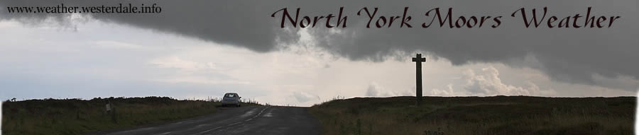
Meanwhile we have been on the northern side of the jetstream in a chilly but sunny anticyclone.
Temperatures to 10th of June have continued the theme of recent months at some 2C below average, but it has been very dry especially compared to June last year - which by now was above 60mm compared to 0.2mm this year!
There is still not much to suggest a big change, but the next few days will be less settled, with some rain likely, and we will lose the onshore winds so temperatures may creep to more like average with less of the chilly nights.
Weather topics related to the main weather site - www.weather.westerdale.info