Friday, 26 October 2012

First Hill Snow

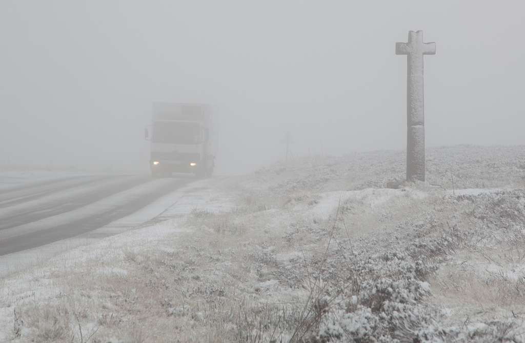
Wet snow falling in the valley and a slushy covering today.
Forecast does suggest more heavy showers this evening which could give a cover lower down too.


Friday, 12 October 2012

12th October - rain event

About 22mm of rain overnight mostly between midnight and 4am.
Sun and wind today and fields don't seem as wet as you might expect.


Wednesday, 26 September 2012

Late September storm

We seem to have got off reasonably lightly compared to low-lying areas but the tropical storm remnnants gave  64.8mm over roughly 48 hours.
Up till then September had been relatively dry!
The Esk was very high and most fords were impassable during yesterday (25th).
As usual it soon went down here, once the rain stopped.

Since the prolonged rain event covered both the Moors and Pennines a great deal of water is now heading down the Ouse and trying to squeeze through York.
These autumn storms are not unusual but what makes them worse is times like this one when they become almost stationary in one place.
A good comparable event occurred in 1976. when Stokesley was badly flooded by the Leven.
That event resulted in the flood relief channel being built, which once again proved its worth yesterday.
http://www.nowandthenmag.co.uk/may1998/floods.htm

Just two years ago there was a similar amount of rain but with a brief respite on day two of three.

Wednesday, 29 August 2012

Stats upate

I think the weather site has reached something of a plateau for now, although as usual interesting events will push the daily visits up at least for a while. A constant feature is the tendency for some visitors to sit on a page for hours at a time. I'm still uncertain if this is deliberate with occasional monitoring, or they left a window open by accident. It does seem that often it's the same user(s) returning over many days so I guess they would have to be very careless to leave it open so often!

Sunday, 5 August 2012

August thunder

It seemed to be rumbling in the distance on and off all afternoon today, then about 8pm we had a brief storm which gave about 2mm
.

Wednesday, 11 July 2012

Waterlogging

The continued rain events mean the ground is once again waterlogged worse than at any time through last winter.
Water is standing on the surface even in fields which are usually free draining.

 Bizarrely July last year was actually wetter but following a long dry period the rain was generally welcome and not disruptive.
 A good example is what happened at the Yorkshire Show yesterday.
 On day one it seemed just possible that if with luck, it remained mostly dry, the event could manage to stay open - but a sudden heavy shower about 4pm meant that the trafficed areas of car parking fields literally turned to running streams in minutes.

 Lots of grass is still to cut for silage and hay, it is deteriorating rapidly now so we do need to see a major change very soon or the coming winter will be very difficult indeed.
Luckily there are increasing signs of an improvement next week.
Not all plain sailing as Friday could see more rain, then there is a chance of some rain mid-week but this may be downgraded near the time.
The last week of July does currently show signs the Azores High may move our way, bringing much more settled conditions for several days.
All is not lost!
Thursday, 28 June 2012

Violent rain 28th June

We were lucky really as this passed through in about 5 minutes.
There were two or three lightning strikes close enough by to trip the power out briefly.
Some places had rain like this for an hour or more causing flash flooding and transport disruption.